
Stiip vs Building a Cycling Route Point by Point on Google Maps
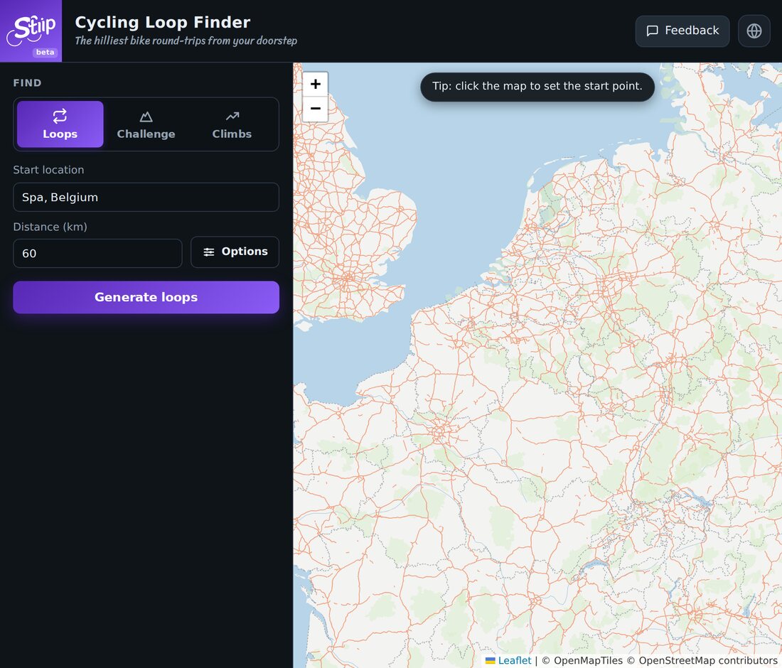
Lots of riders plan a route on Google Maps: drop a start, drag the line through some roads, check it looks okay, export. It works, but it's slow, and Google Maps has no idea which roads are the good climbs. Here's the difference.
The Google Maps way
- You place every point by hand.
- You guess which roads are hilly. Google won't show you the climbing as you draw.
- It isn't real cycling routing, so you can land on a fast road or a dead end.
- Getting a clean GPX out takes extra steps.
Fine for a simple A to B. Painful for a nice hilly loop.
The Stiip way
- Type a start and a distance. That's the whole input.
- Stiip builds several routes and ranks them by climbing.
- Every route shows its D+ and elevation profile, so you know exactly what you're getting.
- One tap to download the GPX.
Ten seconds, instead of ten minutes of dragging.
When Google Maps still wins
- You want a specific route through specific streets (a café stop, a friend's place).
- You're going point to point in a city and just need directions.
For that, use Maps. For a hilly loop from your door, let Stiip do the work.